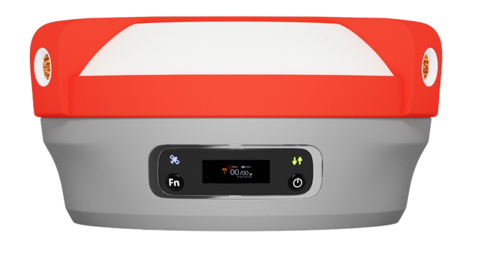
Derech Ofer Company has been using several TerraGenie systems for about four years across various projects throughout the country. The system has greatly assisted us with renewing markings in the field, measurements for different needs, and especially with collaboration and workflow between the office and the field.
The company’s engineer can send and receive materials to and from the field and can monitor and approve processes and execution remotely thanks to the system’s online capabilities.
I am convinced that the TerraGenie system has contributed greatly to us over the years, bringing economic efficiency alongside high efficiency and accuracy at our work sites.
I recommend that companies with a similar nature of work adopt such a system into their daily routine.
Derech Ofer LTDYair Sivan – Founder and Owner
Our company has accumulated rich knowledge and experience over 35 years of activity, always striving to be at the forefront of technological innovation in our field. I can confidently say that the TerraGenie system is the single most crucial tool I have introduced into the business.
The documentation work in the field, which was previously performed by external suppliers, is now done by the "Maya" teams in a much easier, faster, and more efficient way than before. The information flowing online from the field to the office is processed, calculated, drawn, and displayed automatically, significantly shortening the delivery time of outputs and billing to our clients.
Beyond the fact that using TerraGenie has helped us save a lot of money over the years, it also enables a smooth and perfectly coordinated workflow between the office and the field.
Maya Utility Detection and Mapping LtdMoshe Siri – Founder and Owner
Our company has been independently using measurement devices for many years, so the switch to using TerraGenie was natural. They built and customized a marking and measurement system for us that we use every day at various sites, enabling continuous and more accurate work through an easy-to-use interface and excellent (GPS) hardware.
All of our teams perform numerous markings in the field using TerraGenie at every stage of the project. Using the system has greatly helped us save significant time and measurement costs. We enjoy efficient and fast service from the support team, who understand that we work under tight deadlines and deliver precise responses.
There is no doubt that I recommend every construction, earthworks, and infrastructure company to implement at least one such system as soon as possible.
A.D. Edri Brothers Ltd.Eliran Buaron
“My team and I have been using TerraGenie for over four years. The system gives us great independence and saves time and money.”
Eyal Masika Engineering LtdEyal Masika – Founder and Owner

